I started my second week of training today. It is shore based. Each trainee has two wonderful dummy charts marked ‘Not to be used for navigation’. Apparently the coast lines are composites of real places with imaginary names (some amusing) provided instead of the real ones.

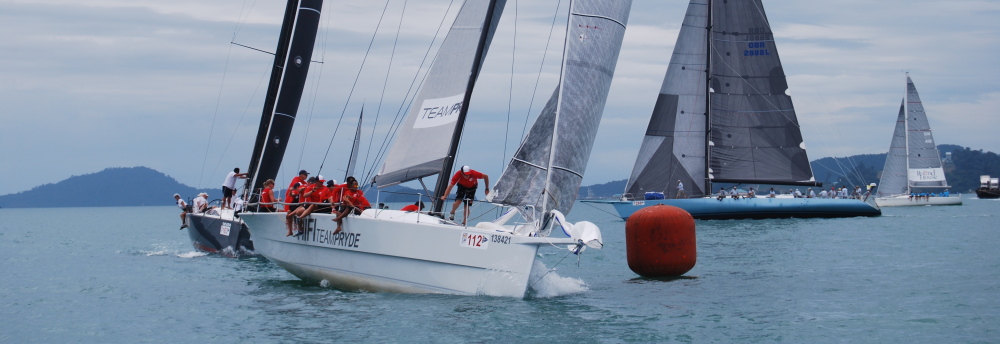
My friend and coursemate (illustrated above) who owns a catamaran on which he is kindly putting me up estimated that the number of symbols found on Admiralty charts is about ten times the number found on OS maps. Charts, in fact, have all the land-based symbols as well as a plethora of marine symbols which stand in place of the manifold features and dangers of the sea. Perhaps the most tantalising one seen today was ‘minefield’!
I have always loved maps and charts, and particularly the symbolic representations that model specific features enabling a cognoscento to interpret the actual seascape and to convey a huge amount of information in a compressed form. Until now I have been quickly baffled by most of the symbols but from now on I have the enormous satisfaction of being able to discover their meanings via Admiralty Chart no 5011: ‘Symbols and Abbreviations used on Admiralty Paper Charts’. Without this publication and an understanding of how to use it (via the ‘Contents Key’ in the back cover) you could not raise yourself from your current level of knowledge (or in my case, ignorance).
I have used a Portland Plotter and wonderful brass-footed dividers for the first time, enabling me to take compass bearings and determine distances along a track. Along the borders of a chart the co-ordinate references (latitude & longitude) are conveniently displayed in degrees, minutes and decimal fractions of a minute. These are repeated every so many grid lines in the body of the chart, and together with that most romantic of diagrams, the compass rose, enable us to determine our position on the surface of the globe with great accuracy.
I ended the day in a mood of euphoria, for I had always thought I could understand charts if only I had the keys to hand, and now I have been shown these keys! There is a great deal to learn and I can already see that the two examinations which will take place this week will not be easy, but after the principles are well understood I believe that with methodical care I shall be able to pass them.
I am already aware of how easy it is to make mistakes with bearings and lat/long position refs by transposition of figures and many other causes. Only rigorous checking and re-checking in such a way as to avoid repeating an error can we expect to produce accurate results which really do identify the present position and enable us to devise safe and accurate courses to our destination.
Life – especially shoreside life – is not so simple or so definite, I am afraid. Many a good navigator can find himself aground in a human situation when he or she would never run that risk at sea.
Long may the euphoria continue! Bring some home with you in December!
Love and miss you
J xx
I promise to comply. When you so generously and characteristically asked me if I wanted to go off around the world after this course I replied in the negative, giving the reason that I want to spend most of my life with you. I mentioned this in sailor’s talk and both my companions at that moment burst out with: “Good answer!’ Of course we roared with laughter, but I do now confirm publicly that I meant that. xx
I am pleased I am the source of much good humour, even if it is at my expense!
Navigation always reminds me of hopefully being somewhere in the ‘cocked hat’ or maybe not! Your last para ….. food for thought! I am looking forward to moving Mum’s narrow boat this weekend and discovering the secret of ‘locks’. Continue having a great time in better weather than we have!
Yes Martine, it is better to be in a cocked hat than to be knocked into one!
“Life – especially shoreside life – is not so simple or so definite, I am afraid. Many a good navigator can find himself aground in a human situation when he or she would never run that risk at sea.”
I love this. I am using it in my coursework, will e-mail you and explain.
Thanks Babe. Our trade relies on rapid manipulation of things that stand for other things. Are you for or against anti-aliasing?